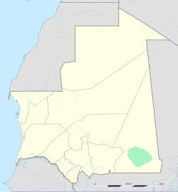
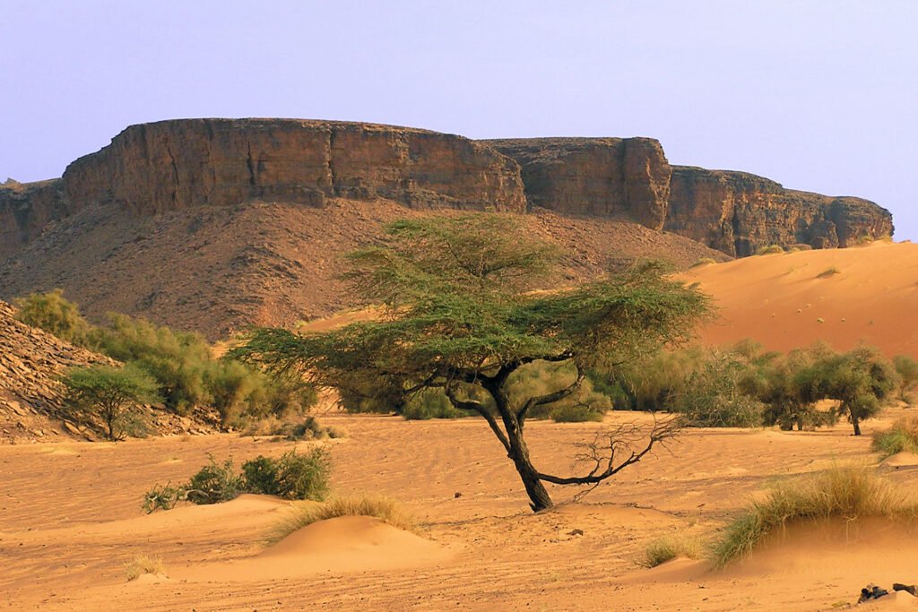
An-Nama is a city in southeastern Mauritania, the capital of the Houd el-Sharqi region, with a population of approximately 47,000 (as of 2013). The city is located near the border with Mali, at the eastern end of the Route de l’Espoir – the longest paved road in Mauritania. Additionally, dirt roads branch off from the city towards the historic town of Walata (to the north) and the ruins of the medieval Kumbi Saleh (south). An-Nama also has a road to Nara in Mali.
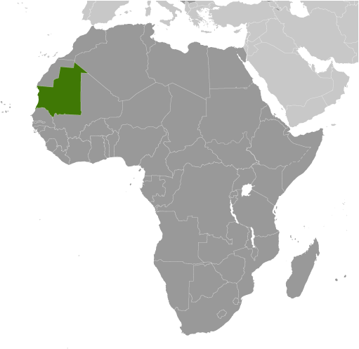
Key Facts: Demographics: The city has a population of approximately 47,000, according to the census. Location: It lies near the border with Mali. Infrastructure: It is the terminus of the Route de l’Espoir (Road of Hope), the longest paved road in the country, connecting the east with the Atlantic coast and the capital, Nouakchott. Transportation: The city has its own airport, served by the national carrier Mauritania Airlines. If you’re planning a trip, it’s worth checking the availability of current flights to An-Nama on Skyscanner. Due to the lack of a diplomatic mission in the country, the country falls under the jurisdiction of an embassy in another country.
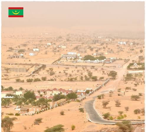
The city is a major departure point for trips to these remote, desert regions of Mauritania and is served by Mauritania Airlines, among others. It lies at the intersection of the picturesque landscapes of the Adrar Plateau and the sands of the Sahara.
History and local monuments (including in neighboring Walata)
Logistics and transportation (flights from Nouakchott, road conditions)
Travel tips (climate, safety)
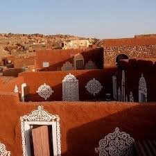
Attractions and monuments in the city of An-Nama. Within the city limits, life revolves around traditional architecture and commerce:
The Great Mosque of An-Nama (Grande mosquée de Néma) – the city’s religious focal point, featuring traditional Sahelian religious architecture.
The Old Ksar and Medina (Ancien Ksar) – the oldest district of the city, characterized by traditional mud houses (banco) and narrow streets.
The Central Market (Marché central / souq) – a bustling trading post on the Route de l’Espoir, where camels, spices, and crafts are traded, among other things.
The Palmeraie (Palm Groves) – traditional agricultural oases providing shade and dates.
Key Nearby Monument: Walata (Oualata)
About 1.5 to 2 hours’ drive from An-Nama lies Walata – one of the most important historical sites in West Africa, a UNESCO World Heritage Site.
Painted Mud Architecture – unique in the Sahara, these houses are decorated by local women with red and white geometric patterns, creating a secret code indicating the inhabitants’ status.
Manuscript Museum – housing priceless medieval Islamic scientific and religious books from the heyday of trans-Saharan trade.
Ancient Mosque of Walata – a historic temple dating back to the time when the city was a key madrasa and gathering point for pilgrims heading to Mecca.
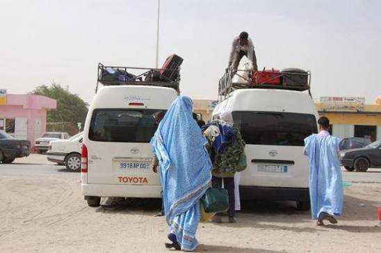
An-Nama (French: Néma) is a city in southeastern Mauritania, a key transportation hub for this part of West Africa. Road Transport. The city is the terminus of the Route de l’Espoir (Road of Hope) – Mauritania’s most important, fully paved artery, approximately 1,100 km long, connecting An-Nama directly with the capital, Nouakchott. Strategic dirt roads and sandy trails branch off from An-Nama to the historic city of Walata (to the north) and towards the border with Mali (south to Nara). The main means of public transport are long-distance buses (e.g., SONEF), minivans, and shared 4×4 off-road vehicles (bush taxis / taxi brousse), essential for navigating the desert wilderness. Air Transport. An-Nama International Airport is located in the city. Passenger flights to the capital, Nouakchott, are operated by the national airline Mauritania Airlines. Flights are infrequent (usually once a week), and the journey takes approximately 1.5 hours. Rail Transport. There is no rail connection. The famous Mauritanian Railway (iron ore train) runs exclusively in the north of the country, on the route from Zouerate to Nouadhibou.
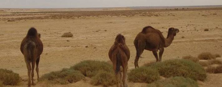
An-Nama (Néma), a city in eastern Mauritania, is characterized by extremely harsh conditions and a high level of insecurity. Due to the extreme desert climate and the drastic increase in the risk of kidnappings and terrorist attacks, all travel to the region is discouraged. Detailed conditions in An-Nama. Climate (Desert Sahel): The region is characterized by a very hot and dry climate. Daytime temperatures regularly exceed 40°C, and during the summer months, they can reach as high as 48°C in the shade. It experiences severe sandstorms and minimal rainfall, concentrated during the short monsoon period. Security (Extreme Risk): Travel to eastern Mauritania is discouraged. An-Nama lies in a region bordering Mali, which is a hotspot for jihadist and criminal groups. There is a very high risk of terrorism and kidnappings for ransom. Infrastructure: The city is cut off from any developed medical infrastructure, and the overland journey from the capital (Nouakchott) is long (the Route de l’Espoir takes several hours) and dangerous. Domestic flights are an alternative. Are you interested in safety procedures and evacuation options in this region, or are you planning to travel to other, safer areas of Mauritania (e.g., the Atlantic coast)?