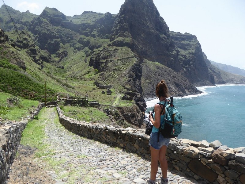
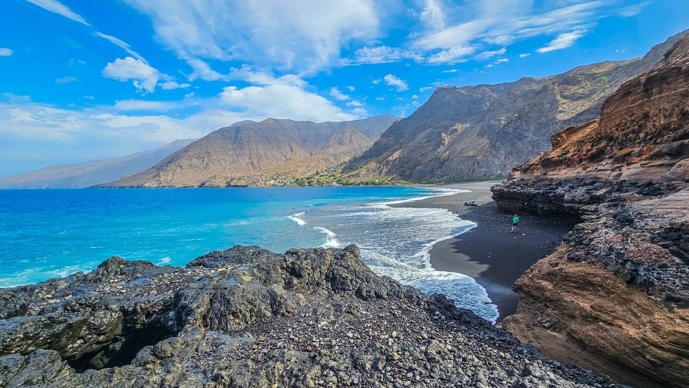
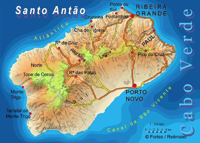
Santo Antão is the westernmost and largest island of the Leeward Islands, which comprise Cape Verde. Of the larger islands, São Vicente is the closest to it to the southeast, separated by the Canal de São Vicente. It is the westernmost major island of Cape Verde and the entire African continent, and the second largest of the Cape Verde Islands.
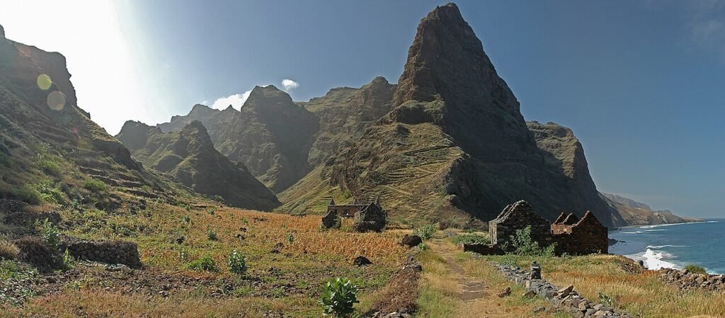
Geography. The island is formed entirely of volcanic material. The highest mountain, Topo da Coroa, reaches a height of 1,979 m. The second highest is Pico da Cruz, at 1,585 m. The island is divided into northern and southern parts by a mountain range, long considered impassable but now crossed by a road. The island’s main town is Ponta do Sol on the north coast. It has a disused airport, while the ferry port is located in Porto Novo on the south coast. The southeast of the island has a dry climate, while the northwest experiences relatively normal rainfall. The island’s valleys are subject to severe erosion.
Reservoirs. Bathing beaches and fishing spots can be found near Tarrafal de Monte Trigo.
Streams
Ribeira do Passo near Passo
Ribeira das Bras near Ribeira das Bras
Mountains and Volcanoes. The island is considered the most mountainous of the Cape Verde Islands. The mountains are formed by basalt. Many of the volcanoes are young, especially their calderas. Since 1999, volcanologists have observed a steady increase in sea temperature in the Ponta do Sol area, which may indicate the threat of a new eruption.
Peaks: Pau Seco (approx. 950 m)
History. The island was discovered in 1462 by Diogo Afonso, but didn’t receive its current name until around 1500. It was first settled in 1548, and in the 17th century, people from the islands of Santiago and Fogo, along with inhabitants of northern Portugal, arrived in what is now Vila da Ribeira Grande in the northern part of the island. Wine and coffee later became the island’s most important exports.
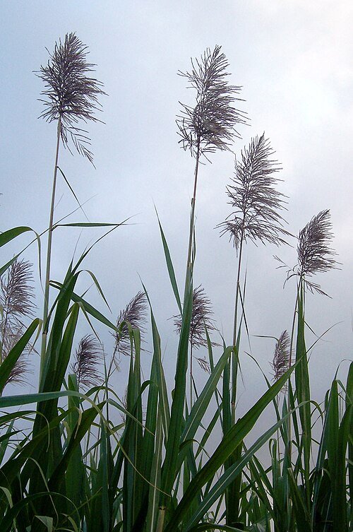
Economy: Fishing and agriculture are the island’s most important industries.
Agriculture: The island’s agricultural products include sugarcane, yams, cassava, mangoes, bananas, and grains. The island’s main product is a type of rum known as grog (grogue). Exporting many agricultural products to other islands has been prohibited for nearly two decades due to a millipede infestation (Spinotarsus caboverdus), although the government has announced its intention to end the quarantine.
Tourism is becoming an increasingly dominant industry on the island. Some investment is being made in agritourism.
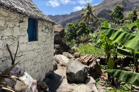
The Paúl Valley (Ribeira do Paúl) on Santo Antão Island is the greenest and most tropical region in the Cape Verde archipelago. It’s a true paradise for trekkers, famous for its terraced farms, traditional distilleries of local rum (grogue), and breathtaking mountain views that plunge directly into the ocean.
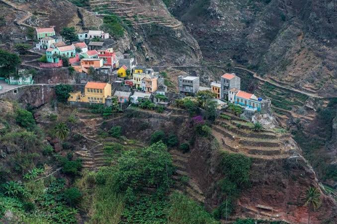
The village of Fontainhas on the mountainous island of Santo Antão is one of the most spectacular places in the world. National Geographic magazine named it the second most beautiful village on Earth for its incredible views. Colorful houses are literally perched on the steep, green slopes of a deep canyon, just above the edge of a cliff.
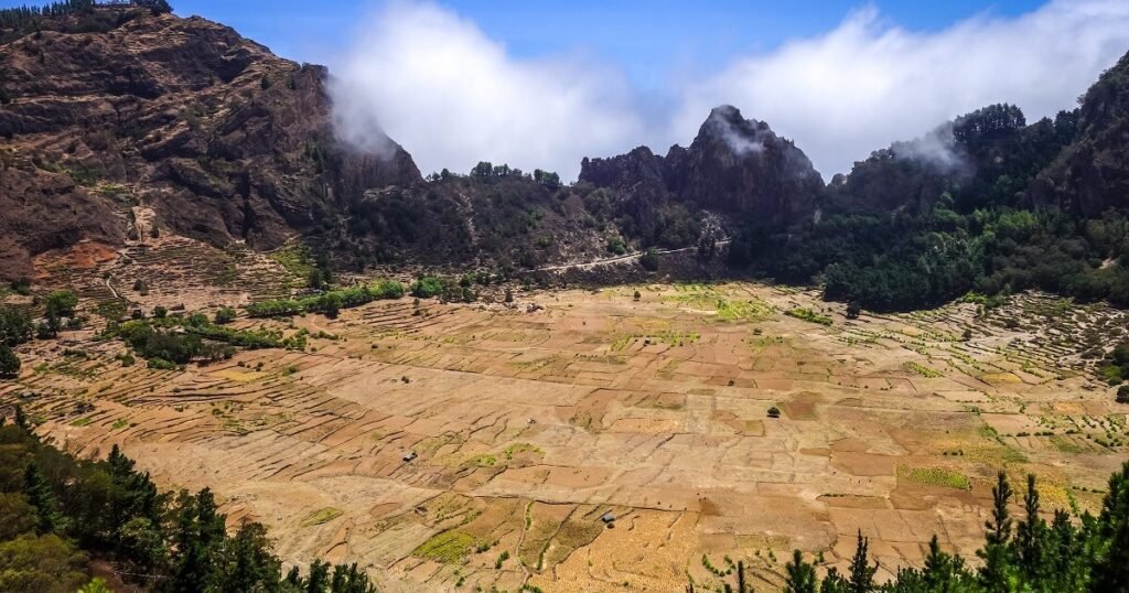
The Cova Crater (also known as Cova de Paúl) is an extinct volcanic caldera on the mountainous island of Santo Antão in Cape Verde. It is one of the largest and most spectacular natural attractions in the entire archipelago.
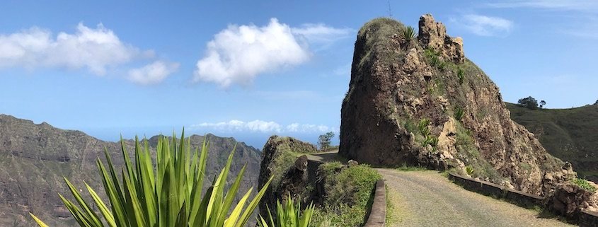
The Estrada da Corda (Ropeway) is one of the most spectacular mountain routes in the world, located on the island of Santo Antão in Cape Verde. This legendary road is approximately 33 kilometers long and connects the arid port city of Porto Novo in the south with the humid, green Ribeira Grande on the island’s north coast.
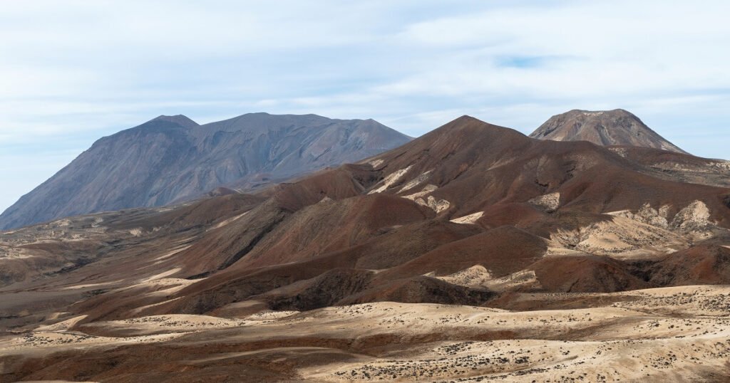
Tope de Coroa (also known as Topo de Coroa) is the highest peak on the island of Santo Antão in the Cape Verde archipelago. Rising to 1,979 meters above sea level, it is an extinct volcano. The mountain lies in the sparsely populated western part of the island, which differs dramatically from the green, agricultural east. Landscape and Surroundings: The surroundings of the peak resemble a lunar or Martian landscape. Dry winds leave the land harsh and sun-scorched. Instead of lush vegetation, desert colors, rocks, and spectacular volcanic formations dominate. In small settlements at the foot of the mountain, such as Bolona, the few inhabitants engage in traditional goat cheese production.
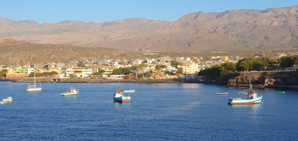
Porto Novo is the largest city and main seaport on the mountainous island of Santo Antão, part of the Cape Verde archipelago. Located on the island’s arid southern coast, it serves as a key transportation hub. Ferries from the neighboring island of São Vicente arrive here, serving as the only entry point for tourists.