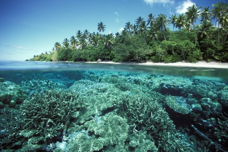
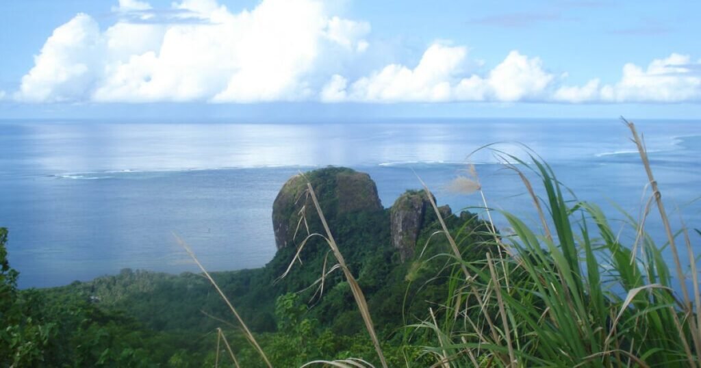
The Caroline Islands are an extensive archipelago in Micronesia, located in the western Pacific Ocean, northeast of New Guinea. Politically, the archipelago is divided between two sovereign states: the Federated States of Micronesia and the Republic of Palau. The largest island is Pohnpei (in the Federated States of Micronesia), followed by Babeldaob (in Palau). Most of the Caroline Islands are low-lying, flat coral atolls with a limited land area. The Caroline Islands comprise an expansive chain of approximately 500 small coral and volcanic islands, situated in the western Pacific Ocean (within Micronesia), north of New Guinea. The archipelago spans a distance of 3,540 kilometers.
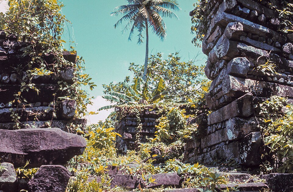
History of the islands. The islands have been inhabited for thousands of years by indigenous Micronesians. On Pohnpei lie the ruins of the city of Nan Madol, the construction of which began between the 8th and 9th centuries AD. The first European to reach the Caroline Islands was the Portuguese explorer Diego da Rocha in 1527; he named them the Sequeira Islands. Later, Spanish sailors referred to them as the New Philippines. Ultimately, in 1686, Francisco Lazeano gave them the name “Caroline Islands” in honor of the Spanish King Charles II. In 1899, the Spanish sold the islands to Germany. In 1914, they were occupied by the Japanese, who, in 1920, received a mandate from the League of Nations to administer them. Following World War II, the islands came under American administration as a trust territory. In 1979, the Federated States of Micronesia gained independence, followed by Palau in 1994.
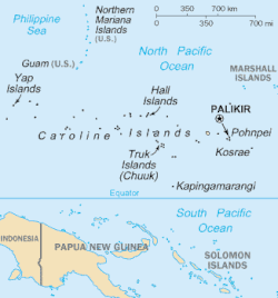
Political division. The Caroline Islands are divided between two independent states:
• The Federated States of Micronesia – comprising the central and eastern parts of the archipelago, which are divided into four states: Yap, Chuuk, Pohnpei (home to the archipelago’s largest island and the national capital, Palikir), and Kosrae.
• Palau – encompassing the westernmost extremity of the archipelago (including its second-largest island, Babeldaob).
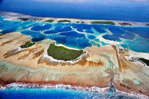
Geography and Nature
• Terrain: The archipelago consists primarily of low-lying coral atolls and a few higher islands of volcanic origin (the highest peak is Dolohmwar on Pohnpei, at 791 meters above sea level).
• Climate: Distinctly equatorial and tropical, with high temperatures year-round (averaging 26–28°C) and very heavy rainfall. The Caroline Islands lie in the heart of a region where tropical cyclones (typhoons) originate.
• Economy: Primarily based on fishing (especially tuna), the production of copra, handicrafts, and a growing tourism sector—which includes world-class diving (for example, in the Chuuk Lagoon, home to numerous shipwrecks from World War II).
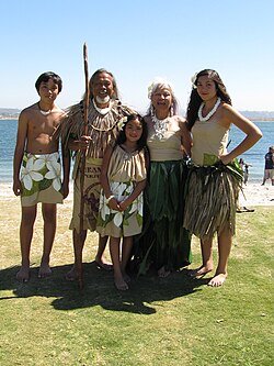
History and culture. The islands were settled by migrants from Asia and Polynesia as early as the first centuries AD. In the 16th century, Spanish navigators arrived and named the archipelago in honor of the King of Spain, Charles II. Over the following centuries, the islands experienced a turbulent colonial history: in 1899, Spain sold them to Germany; in 1914, they were occupied by the Japanese (who established major military bases there during World War II); and after the war, they came under the trusteeship of the United States. The nations gained full independence in 1986 (Micronesia) and 1994 (Palau), respectively. The culture of the Caroline Islands is known worldwide for, among other things, its remarkable navigational traditions—such as ocean voyages in *proa* canoes, undertaken without the use of instruments—and its unique “stone money” (*Rai*): large, carved limestone discs used on the island of Yap.