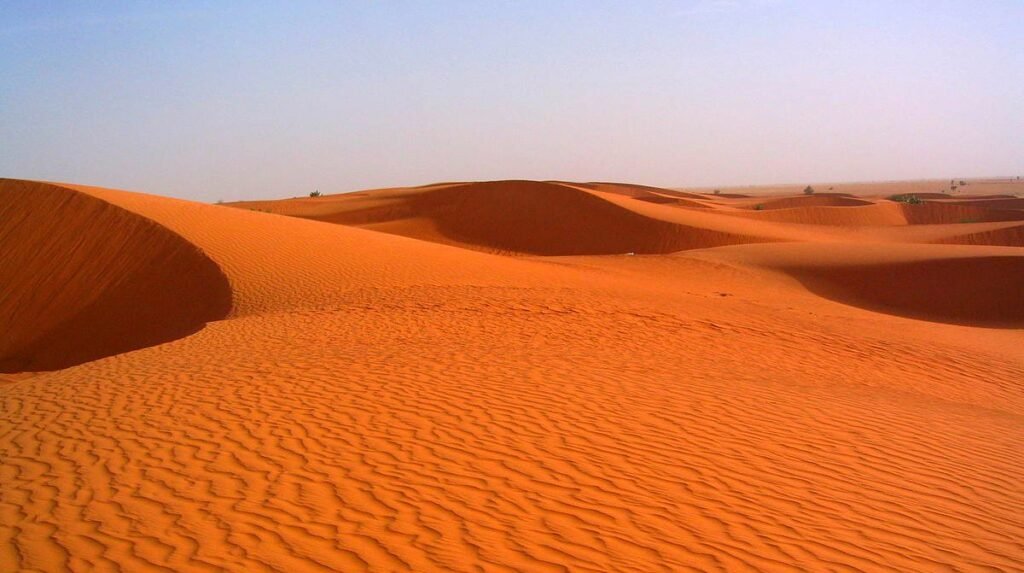
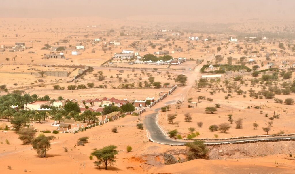
Boghé is a city located in southwestern Mauritania. It lies on the border with Senegal on the Senegal River. According to 2013 estimates, the city has a population of 30,864. Bogué is a city and commune in southwestern Mauritania, located in the Braqina Region.
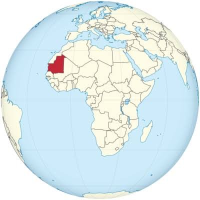
Geographical Location Details: Riverside Location: The city lies on the right bank of the Senegal River, which forms a natural national border. Administrative Division: Located in the Barakina Region. Border Point: Due to its coastal location, it is an important local commercial center and border crossing point between Mauritania and Senegal.
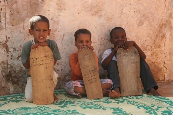
Population: This region, like all of Mauritania, is extremely ethnically and culturally diverse. The main groups inhabiting this area are: Haratin (so-called Black Moors): They constitute the largest group in the country (approximately 40%). They are descendants of the ancient African population and speak Arabic. Moors (White Moors): A people of Arab-Berber origin. They cultivate nomadic traditions and play a dominant role in political and social life. Black population: In the Senegal River valley, where Bughi is located, peoples typical of West Africa, such as the Fulani, Soninke, Touculer, and Wolof, have settled.
Culture: The culture in the Bughi region is a unique blend of Berber, Arab, and West African influences. Religion: Islam is the state religion, which strongly shapes daily life, customs, and law. Traditions: Colorful, loose-fitting clothing is characteristic of the region. Muslim influences intertwine with traditional tribal culture (e.g., music played on local stringed and percussion instruments). Riverside Life: Due to its proximity to the Senegal River, the culture and economy are largely based on agriculture and fishing, distinguishing this area from the desert north of the country.
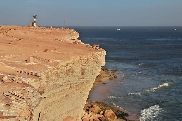
City of Boghé. Population: Approximately 30,864 inhabitants (according to the latest government estimates). Location: An important center in the Senegal River region, where the land is more fertile than the desert areas of the rest of the country.
Mauritania – Quick Facts. Population: Approximately 5.5 million people currently live in the entire country. Population Density: Mauritania is vast in size, but most of it is desert. Therefore, the average population density is only 5 people per square kilometer. Age Structure: It has a very young population. The vast majority are under 30, which is typical for developing countries.
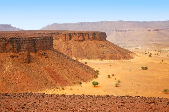
Weather. Mauritania is currently experiencing extreme heat in Boghé, with temperatures reaching 42°C (106°F). Today’s forecast (July 20, 2026) Afternoon: Temperatures reach 42°C (106°F) with very low humidity of 16%. Skies are clear and sunny. Evening: Periods of cloudiness are expected between 6:00 PM and 9:00 PM, with a low (25-35%) chance of showers. Temperatures will drop to around 36°C (96°F) – 41°C (101°F). Nighttime: Temperatures will cool to a minimum of 30°C (86°F). Winds will blow from the west at 16-18 km/h (10-11 mph). The coming week will bring a further increase in temperatures in this part of Mauritania. The UV index peaks at 11 (extremely high) during the midday hours, requiring avoidance of direct sun exposure and the use of strong sun protection.
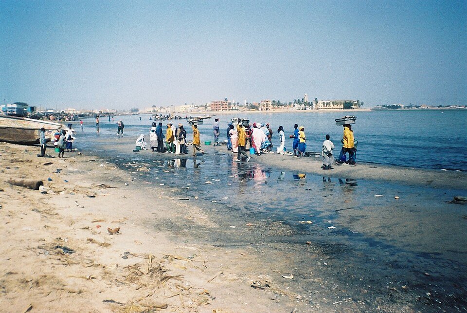
The Senegal River is a 1,080 km long river (1,640 km including the Bafing) in northwestern Africa. It is formed in Mali by the confluence of the smaller Bakoye and Bafing rivers. Its major tributaries are the Falémé, Karakoro, and Kurkul, and its drainage basin covers approximately 441,000 km². In its lower reaches, the river forms a natural border between Senegal and Mauritania. It empties into the Atlantic Ocean at the tip of the Langue de Barbarie peninsula south of Saint-Louis. Numerous floodplains and marshes, constantly fed by the river’s waters, form in the lower reaches, making this area the northernmost area of permanent water in western sub-Saharan Africa. This provides a stopover for numerous flocks of birds migrating from Europe across the Sahara. Additionally, many native bird and other animal species have their home here. To protect these biotopes, several national parks have been established in the Senegal River Basin in the countries of Senegal and Mauritania. Numerous smaller streams branch off the main riverbed, leading to the region being called the Senegal Delta, although the river’s mouth on the Atlantic Ocean itself is a funnel, and the streams connect it to the main channel before reaching the coast. In 2005, the Senegal Delta was declared a UNESCO Biosphere Reserve. During colonial times, at the beginning of France’s expansion in West Africa, a series of forts were built on the banks of Senegal to protect the colonizers from incursions by hostile forces from African kingdoms in the Niger River basin. The most important forts included Dagana, Podor, Matam, Bakel, and Kayes. Over time, small settlements, then cities, grew around the forts. Connection with Saint Louis—the main port and capital of colonial Senegal—was provided by frequent boats plying the river. Today, most transport takes place along the roads along the Senegalese coast, and inland navigation, while still present, is less frequent. However, the river, as it was then, is used for irrigation (in Mauritania, the only arable land is located directly adjacent to the river). There are also several passenger crossing points on the Senegalese-Mauritanian border, the most important of which is located in Rosso, where a ferry operates. At smaller border crossings, crossings to the other side can be made by pirogue. A bridge has been built at the Diama-Maka border crossing.